
Discover VonaVona

Islands, channels
& open water

Islands, villages, waterways, reefs and landscapes — the everyday lagoon environment, explored place by place.

The lagoon

A place shaped by water

VonaVona Lagoon sits among the islands of the Western Province of Solomon Islands. Here the water is not a backdrop — it is how people travel, fish, visit family and carry stories from one island to the next.

This section will grow into a guide to the lagoon's places, built with the people who know them best.

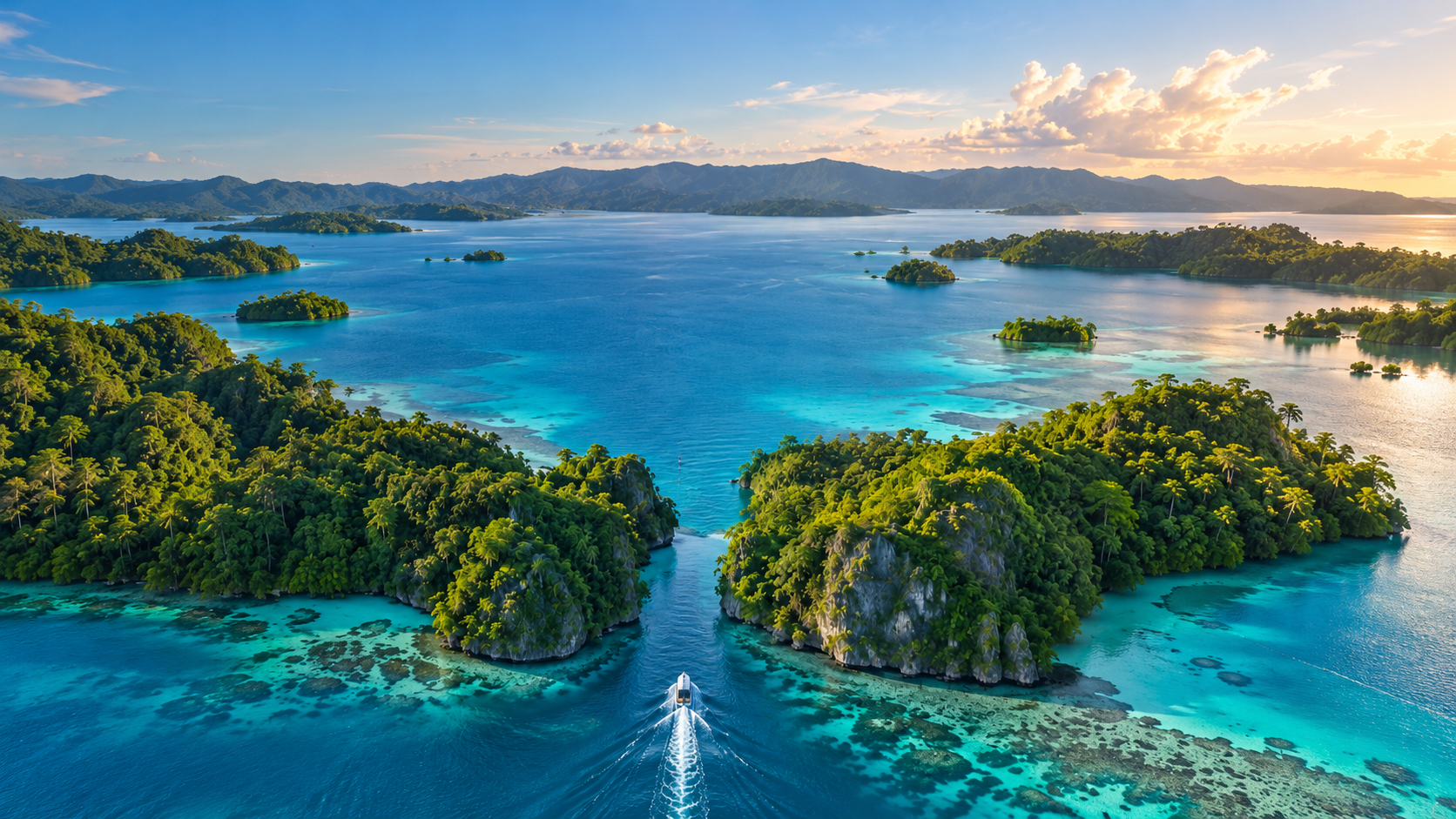
Aerial view of islands and channels in a tropical lagoon
Concept image · to be replaced with VonaVona photography
Ways to explore

Three ways into the lagoon

Islands & Villages

Where people live with the water

The islands, settlements and shorelines of the lagoon — each with its own names, families and history. Place pages will be added as names and descriptions are checked with the communities they belong to.
Channels & Routes

The lagoon's roads

Channels and passages connect villages, gardens, fishing grounds and neighbouring lagoons. Routes will only be published where it is appropriate and safe to do so.

Nature & Marine Life

Reefs, mangroves and open water

The environment that feeds and shelters lagoon life. Species and places will be named only when they can be accurately identified.

Coming soon

The VonaVona map

Not just a tourist map — a growing visual index of VonaVona's places and stories. Click a place to see its photographs, memories and history.

Islands & villagesChannels & routesStories attached to placeNature & reefsVisitor informationUnmapped & uncertain places

Every place will carry a label. Verified names and facts are kept separate from oral traditions, legends and places still awaiting confirmation. Where versions differ, more than one account can be preserved.

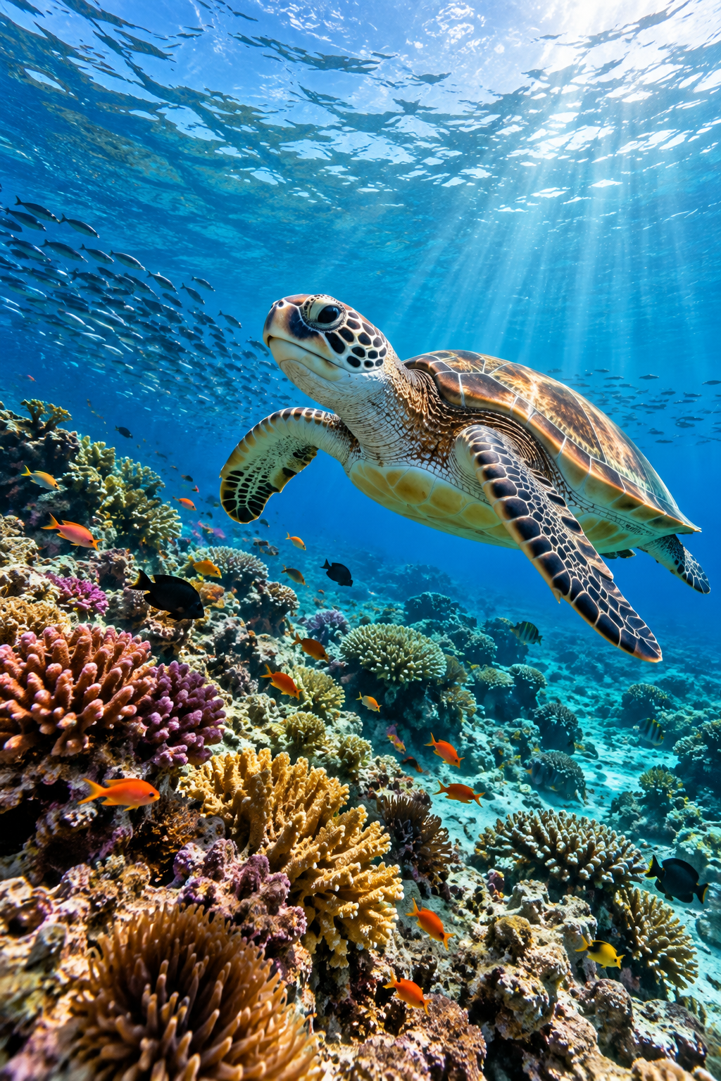
Clear lagoon water over a reef
Concept image · to be replaced with VonaVona photography
Know a place that's missing from the map?
Help map the lagoon →